Bannay loop
Add to my favorites

Route opened
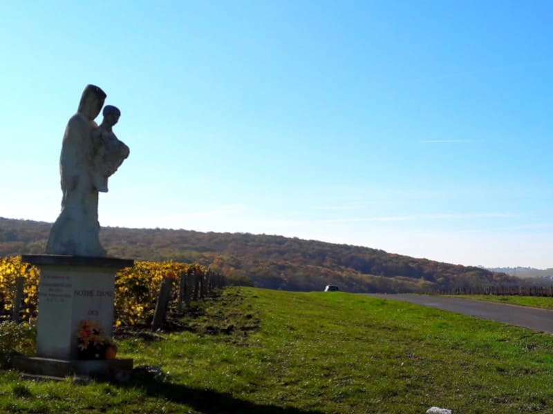
From the church, turn your bac=k to the canal and enter in the village. On the way back you will follow la Belaine river
The characteristics of the route.
Bannay (18)
- Distance 11.4 km
- Elevation gain 140 m
- Elevation lost 140 m
- Min. elevation 147 m
- Max. elevation. 226 m
Add your time and share your feelings
Services nearby

L'Etape Buissonnière
BANNAY
Ô Refuge Di'Vin
BANNAY
Le Well'in Green
SAINT-SATUR
Les Terrasses de l'Ile
BANNAY
Le Ligérien
SAINT-SATUR


Follow us on
the digital trails
the digital trails

![]()
Info & Contacts
Grand Sancerrois Tourism office
+33(0)2 48 54 08 21


OK
Annuler